Know before you Go!
Pow Mow Forecast
- Gusty winds and low relative humidity will create areas of
critical fire weather conditions across southern Utah Friday.
- A significant widespread heatwave will develop this weekend
into early next week, with temperatures challenging daily,
monthly, and even all-time high temperature records.
- Monsoonal moisture is expected to spread into the region by the
middle of the upcoming week, bringing an elevated threat for
flash flooding across southern Utah through the end of next week.
NWS Mountain Forecast Discussion
Full Forecast Discussion →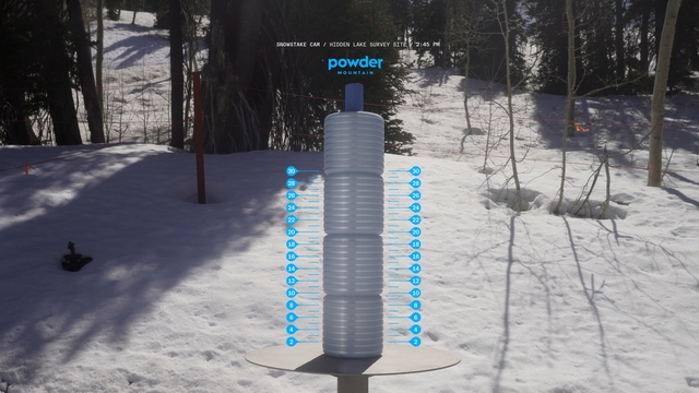
Snow Stake
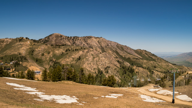
Lightning Ridge
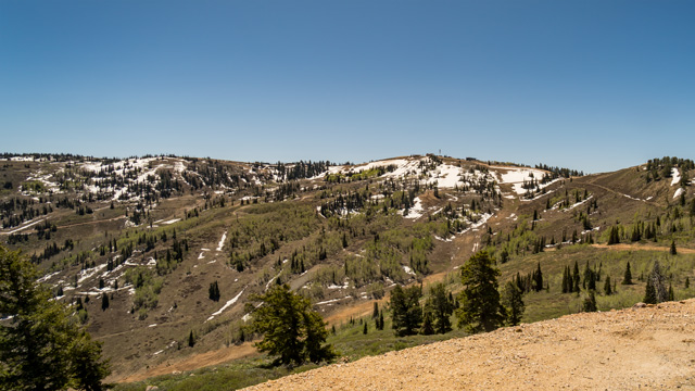
Paradise

Timberline
